
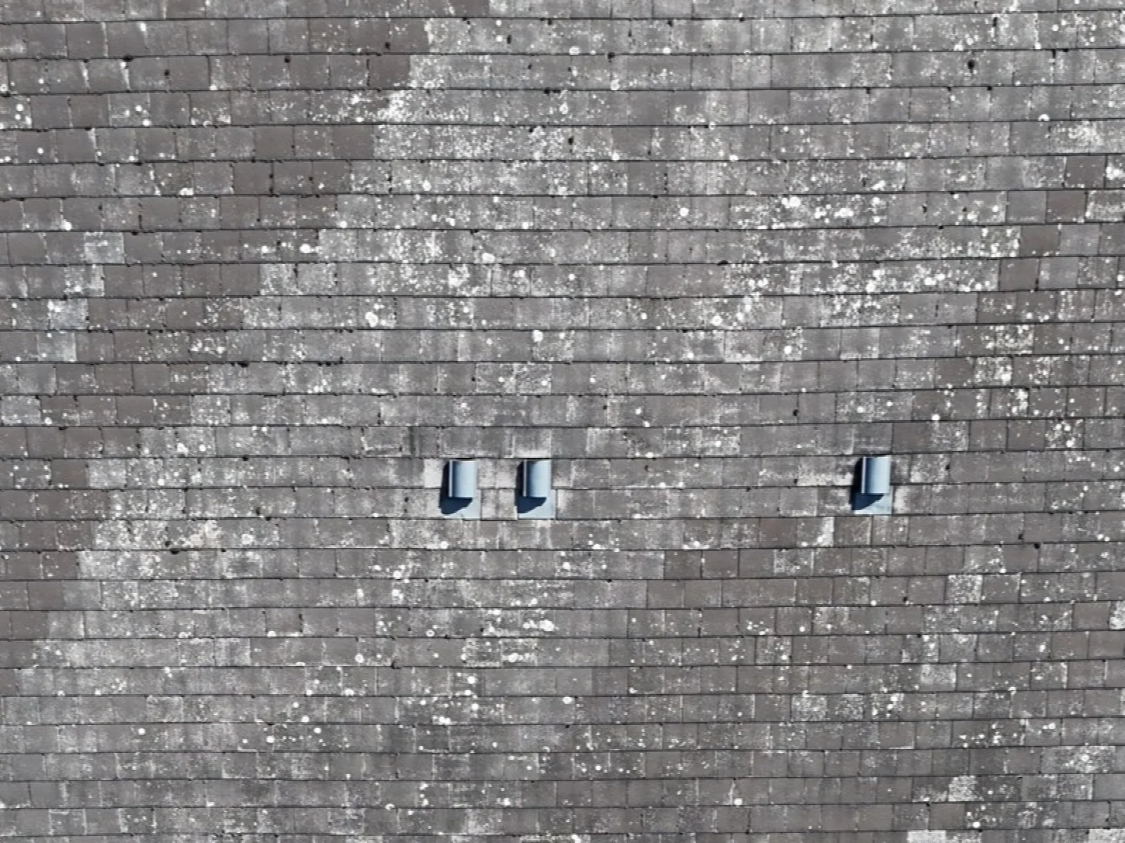
Roof photographs help you review visible coverings, gutters and roof details before deciding on the next step. They give your team and contractors a common reference when discussing a leak, a repair or planned maintenance.
Geolocated photographs can be viewed on an interactive map, with annotated observations marking the areas to review. This helps you find the right image, see where it was taken and share it with the people looking after the building.
- Aerial roof and site photographs
- Interactive aerial maps with photograph locations
- Annotated observations for visible points of interest
- Site overviews for maintenance and contractor discussions